Feature Release: Satellite Generated Boundaries
By AJ
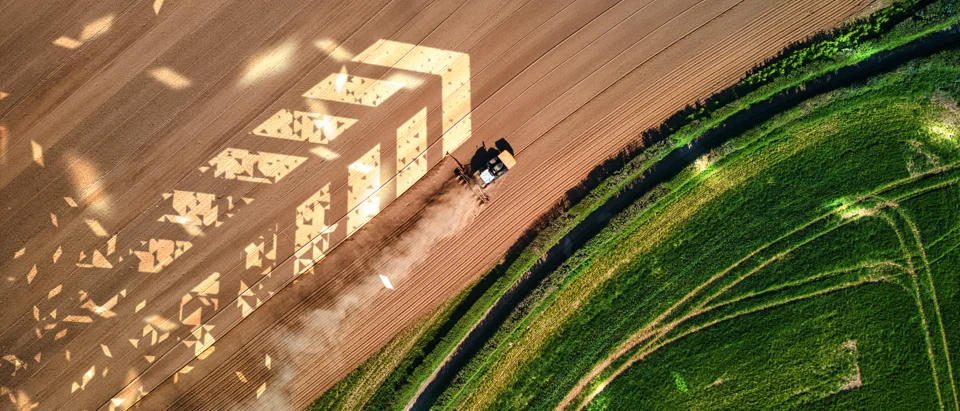
This new and exciting feature of Launch Pad allows users to quickly generate field boundaries using satellite imagery. Say goodbye to manually tracing field boundaries and hello to automated, precision boundary generation.
Why Satellite Generated Boundaries?
Creating accurate field boundaries is the foundation of precision agriculture, but it can be time-consuming. Our satellite-generated boundaries feature leverages advanced image processing and machine learning to automatically detect and create field boundaries from satellite imagery, saving you valuable time during the off-season planning phase.
Key Benefits
- Save time: Automatically generate boundaries in seconds
- Improve accuracy: AI-powered detection for precise boundaries
- Easy refinement: Edit and adjust generated boundaries as needed
- Plan ahead: Perfect for off-season preparation
How It Works
Simply navigate to the area where you want to create boundaries, and let our satellite imagery analysis do the work. The system automatically detects field edges based on vegetation patterns, crop lines, and other visual indicators. Once generated, you can review, edit, and refine the boundaries to match your exact field layout.
Perfect for Off-Season Planning
Winter planning is the key to a successful growing season. With satellite-generated boundaries, you can quickly set up your digital farm twin during the off-season, giving you more time to focus on path planning and operational optimization before spring planting begins.
Login today and see how selectable boundaries can benefit your off season planning.
Try Satellite Generated Boundaries
Start creating precise field boundaries in seconds
Get Started Now