No software, no training. You send your field boundaries and machine details, and Verge delivers the finished plans ready for your display.
Many growers want the benefit of optimized lines but not the work of learning how to make them. That part is on us.
In the rush of the season, there is no time to sit down and plan field by field.
You do not need to master any program. We handle the technical side.
No courses, no tutorials. You get a plan that is ready to use.
Not a fan of computers? No problem. Handle everything from your phone, on WhatsApp.
From your submission to the finished plan on your display, you follow and approve every step.
Send your field boundaries and machine details over WhatsApp.
We build the first version of the plan based on the information you sent.
Approve it or request changes as many times as you like.
We generate the export file for your equipment.
The file arrives in the right format for your display, ready to load and operate.
Two things are enough to get your plan started.
The outlines of your fields, collected precisely with GPS.
Verge will ask you for the information in an organized way. You just have to send it.
We recommend collecting the boundaries by driving the field edge with a tractor or motorcycle fitted with GPS. We do not work with boundaries drawn by hand or traced from satellite images, because the accuracy of the plan depends on the accuracy of what you send. Collecting the boundaries is the grower's responsibility.
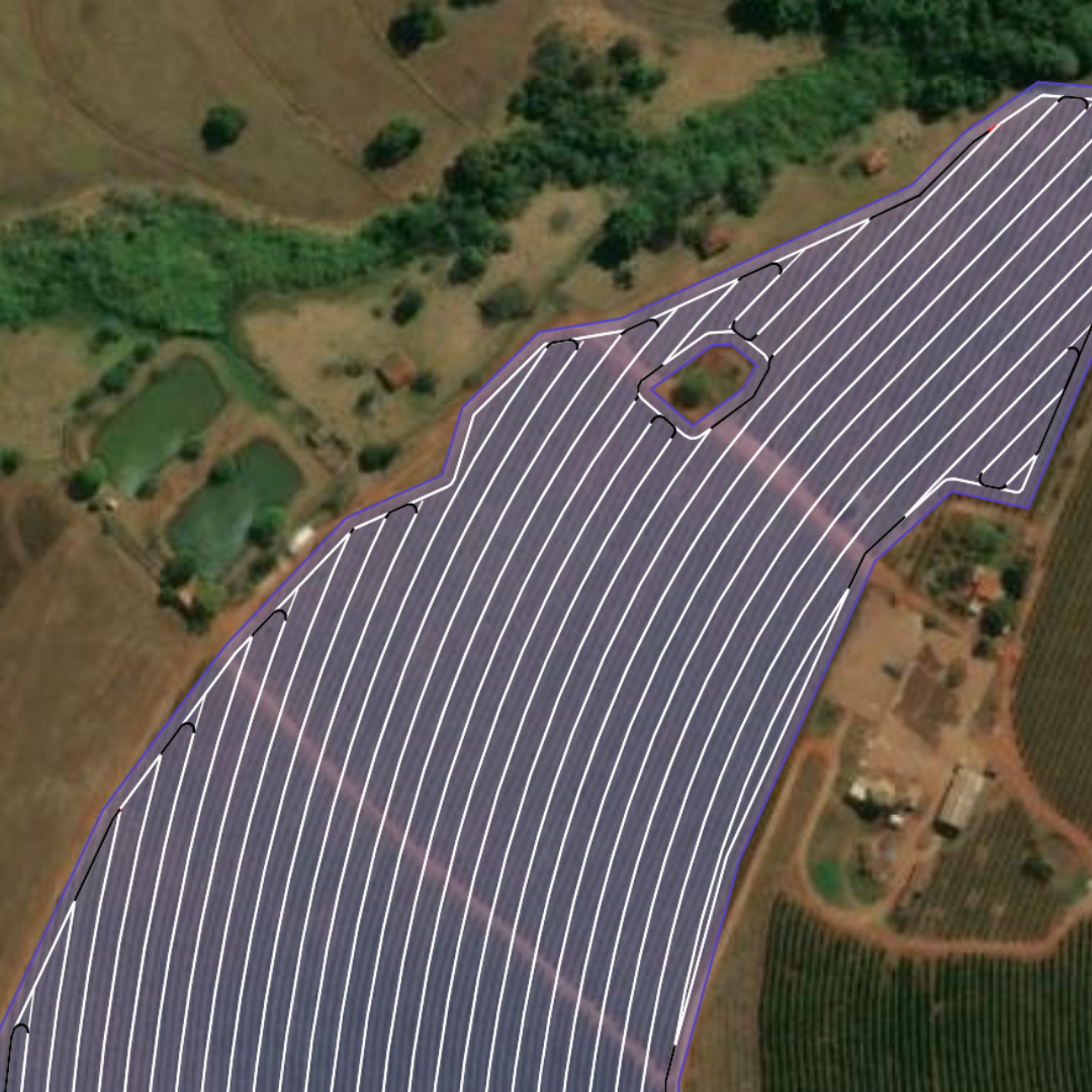
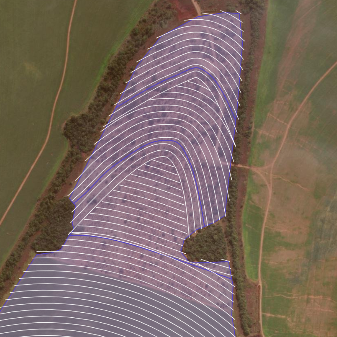
Simple fields with straight lines or more complex ones following curves. Slope analysis that minimizes erosion, and the metrics that matter.
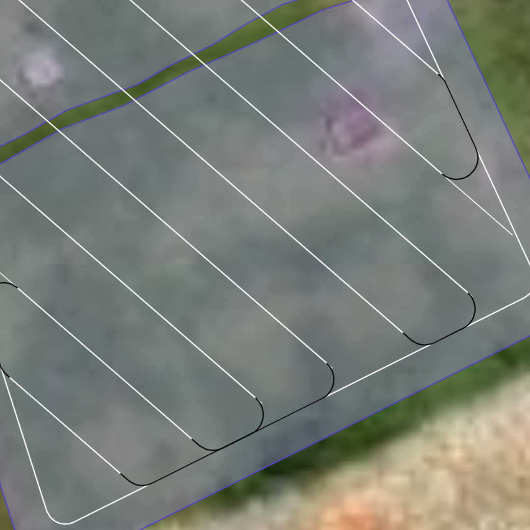
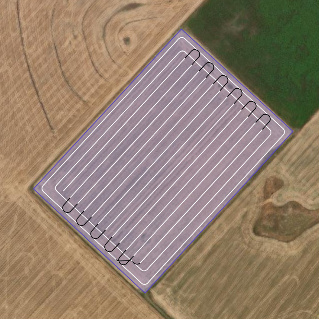
Parallel, uniform passes for simpler areas.
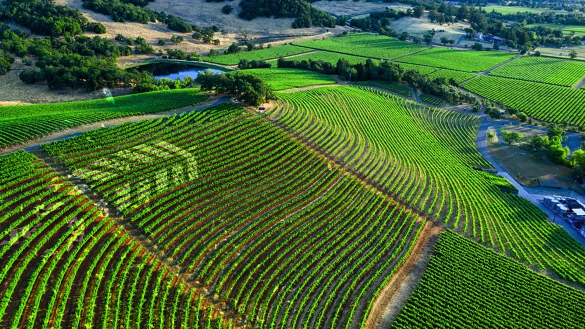
Following the lay of the land and minimizing erosion.
If you already have terraces, we use them and respect your topography without error.
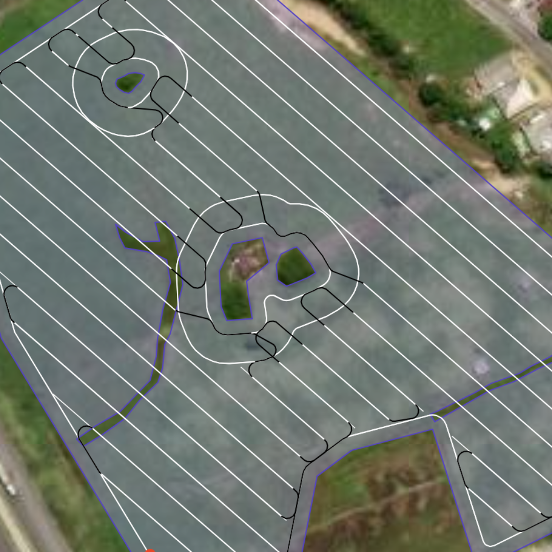
Headlands and turns planned across every field, choosing the right turn type for smooth machine traffic with no rework.
Working around trees, poles, ponds and other field obstacles.
We deliver the file in the right format for almost any display on the market. See the list of brands available for export.
Generic formats
Brands
Supported models: John Deere (G5 CommandCenter, 4600 CommandCenter, 4640 Universal Display, GS3 2630, GS2 2600, GS2 1800, GS2 CommandCenter) · CNH (.cn1, CNH ISOXML) · Trimble (AgGPS: CFX, FMX, EZ-Guide, FM / AgData: TMX, MMX, GFX, XCN) · Fendt (FendtONE, Fendt Vario).
Do not see your display on the list? Message us on WhatsApp and we will check it for you.
Talk to a specialistYour plan is built by the people who develop the path planning software itself.
We are the company that builds the path planning technology. Nobody knows it better.
Less overlap and fewer skips mean savings on inputs, fuel and time.
You waste no time on any program. You simply get a plan ready to use.
Talk directly with real people on WhatsApp, from quote to delivery.
Pricing is per hectare and varies with the complexity of the project. Every field is unique, so we prepare a quote tailored to you.
You tell us the planned operation date and the project specifications. After reviewing your field, we confirm the price and payment options.
Send a message now and get a free, no-obligation quote.